APPENDIX II:
Appendix II.pdf (Adobe PDF document, 245 KB)
Or have a closer look to the next files:
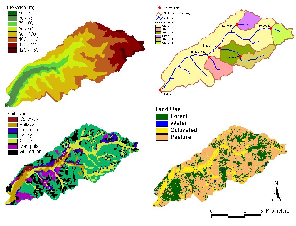
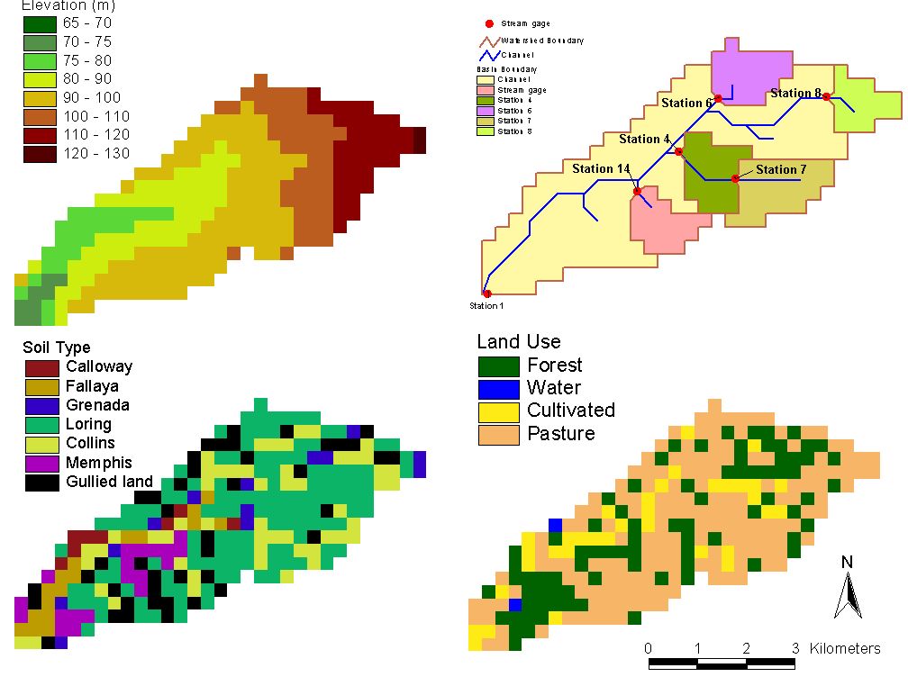
Figure II-1. DEM, basin and channel network definition, soil type and land use grids at 30-m resolution
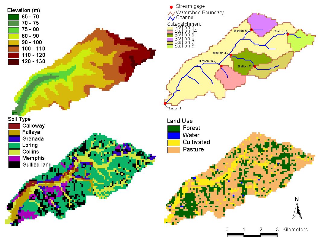
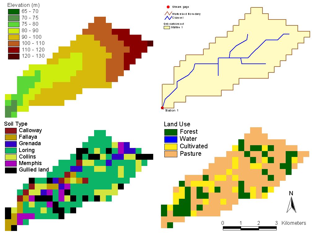
Figure II-2. DEM, basin and channel network definition, soil type and land use grids at 90-m resolution
Figure II-3. DEM, basin and channel network definition, soil type and land use grids at 150-m resolution
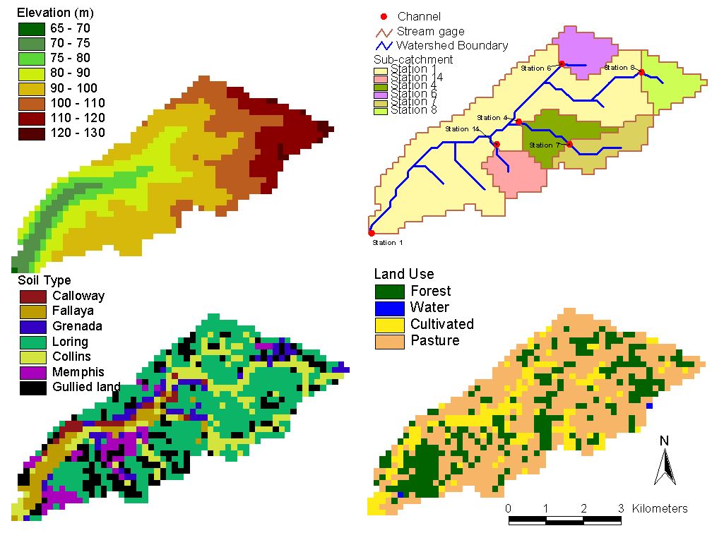
Figure II-4. DEM, basin and channel network definition, soil type and land use grids at 210-m resolution
Figure II-5. DEM, basin and channel network definition, soil type and land use grids at 270-m resolution
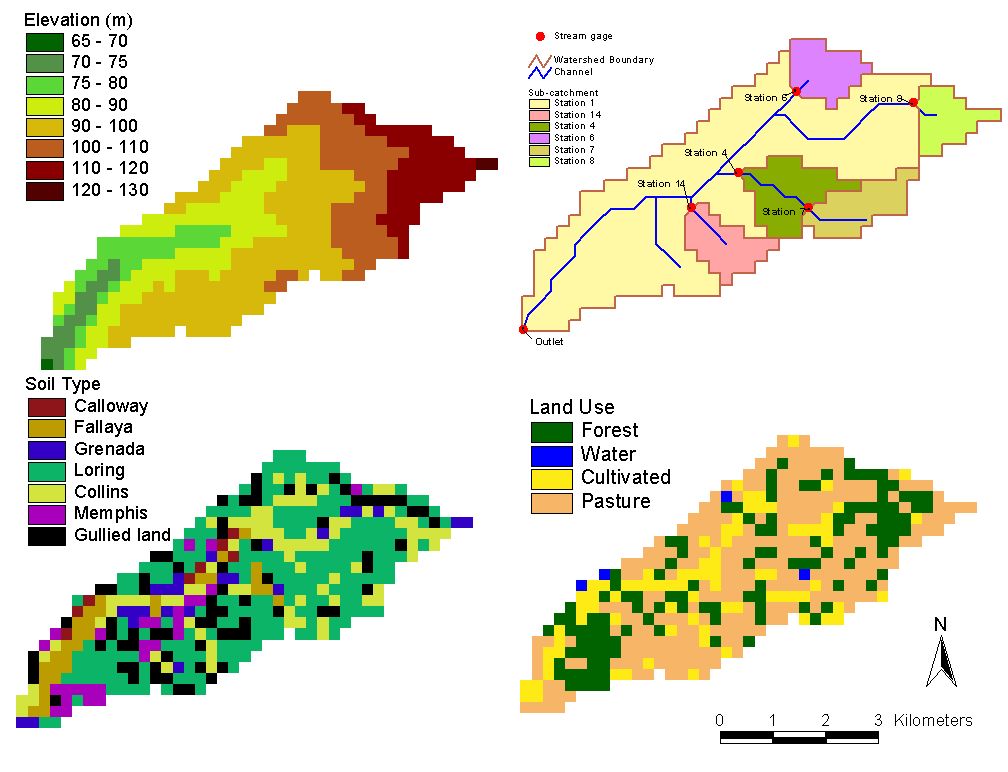
Figure II-6. DEM, basin and channel network definition, soil type and land use grids at 330-m resolution