Scenes along the way.
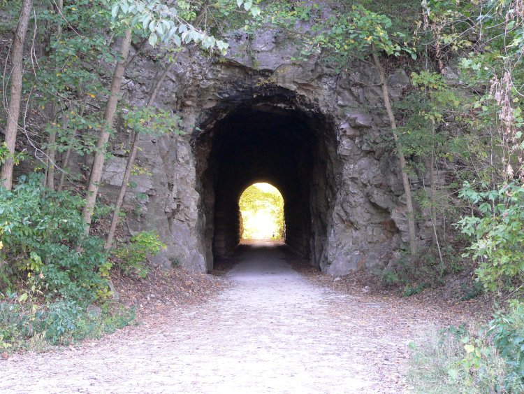
Just west of Rocheport, the only tunnel on the Katy line.
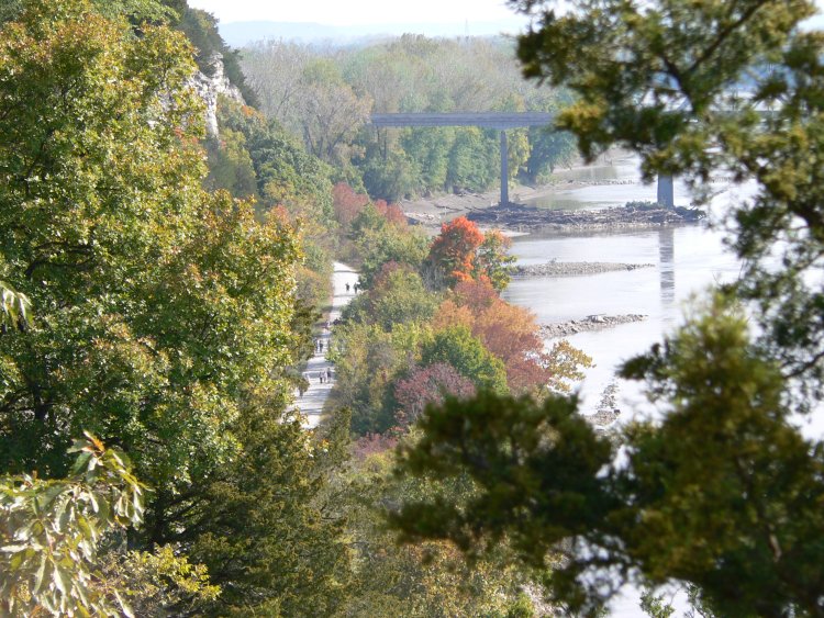
A view of the Katy Trail looking east from a winery near Rocheport.
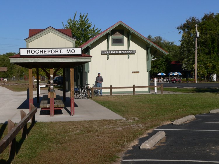
The beginning of our trip - the old MKT terminal at Rocheport
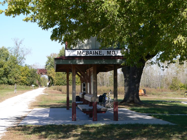
A typical rest stop east of Rocheport.
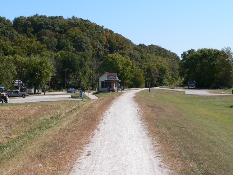
The approach to Hartsburg, 24.7 miles from Rocheport. We had lunch here at a little cafe that served wine made on the premises.
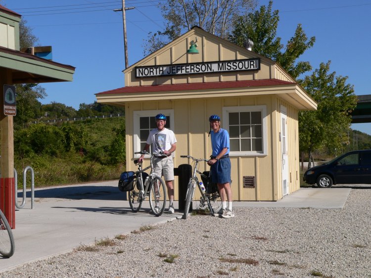
North Jefferson, just across the Missouri from Jefferson City. This was the end of the first day, 35 miles. Our B&B in Jefferson picked us up here and brought us back the next morning.
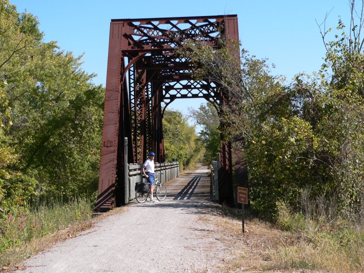
Back on the trail the next day we crossed one of the old Katy bridges that the trail still uses. This one located east of North Jefferson.
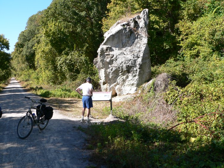
Standing Rock located between Mokane and Portland. High water marks and dates from various floods of the Missouri have been scratched into the rock's surface.
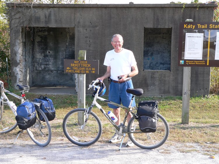
A farm just west of McKittrick.
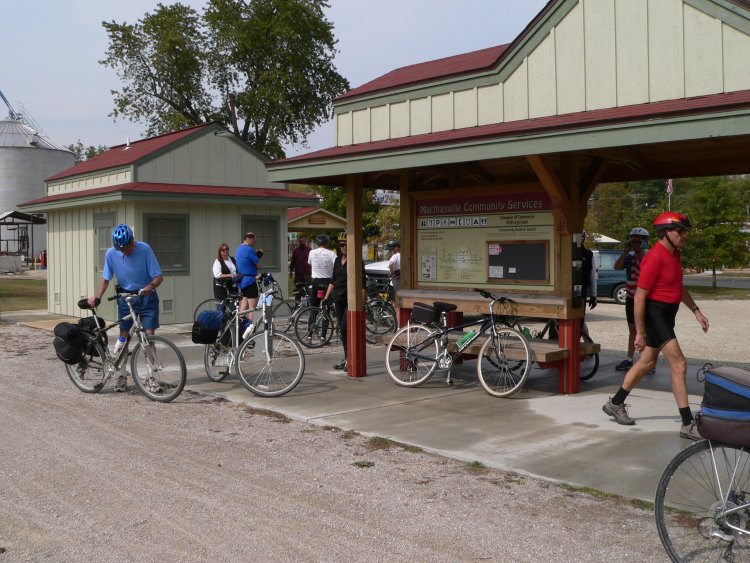
A typical gathering of bikers - this one at Marthaville, 23 miles into our third day. We ate lunch here as did most of the other bikers. Just 11.5 miles later we arrived in Augusta where we spent the night.
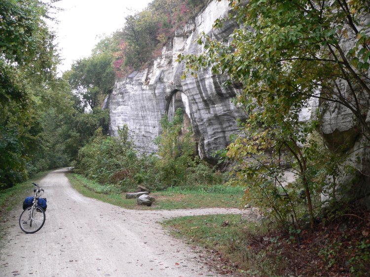
Another nice view of the type of bluffs the trail follows during much of its length between Rocheport and St. Charles. This was shortly into our fourth day.
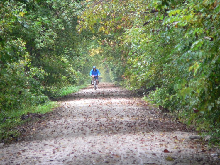
Here comes Sophus in his rain gear even though it was not doing much good at this point.
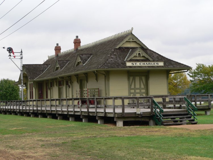
At last, St. Charles, mile post 39.5, - 138.8 miles from Rocheport along the trail. Add another 11.0 miles off the trail to give us a total of 149.8 miles.
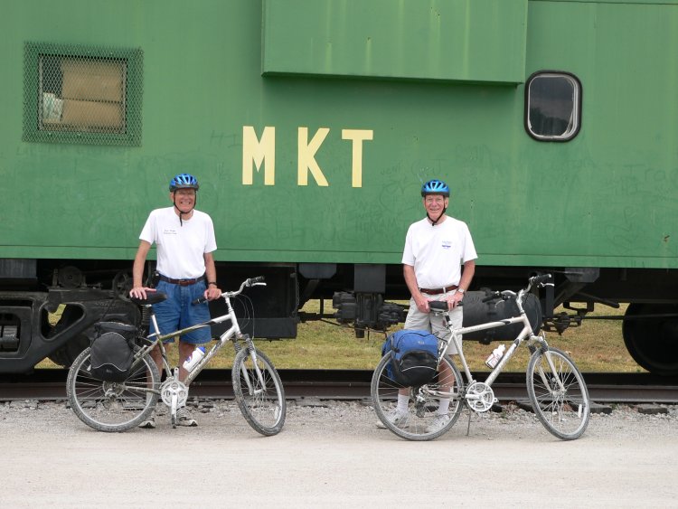
This old Katy caboose at St. Charles creates an appropriate background to signify the end of our trip - a wonderful four days that we will not forget.